General
CSIRO creates 3D model of Richmond River catchment to test flood mitigation options
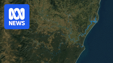
In an effort to better understand flood behaviour in one of the wettest parts of Australia, scientists have turned the region’s river system into a virtual model.
The CSIRO has mapped the Richmond River catchment in northern New South Wales at an unprecedented level of detail.
The…
Continue Reading